
Missouri City ZIP Code Directory Coverage
USPS Postal Bulletin material lists two Missouri City destination ZIP and city pairs in the reviewed sources: 77459 and 77489. They are postal labels, not a municipal-boundary map and not a claim that every address carrying either label lies within the same government jurisdiction. The Missouri City Post Office at 1902 Texas Parkway and the Missouri City Annex at 3701 Glenn Lakes Lane both use 77459. The available official material did not provide a complete neighborhood-by-neighborhood boundary description, so the coverage below stays within what the sources support.
| ZIP | Areas covered | Post Office | Source note |
|---|---|---|---|
| 77459 | Missouri City postal destination label | Missouri City Post Office and Missouri City Annex use 77459 | Postal label only. Confirm the tested address with USPS and city GIS. |
| 77489 | Missouri City postal destination label | No separate post-office assignment was established in the reviewed material | Listed in USPS Postal Bulletin destination ZIP and city materials. |
Missouri City's facilities directory also includes addresses in 77459 and 77489, plus at least one city-associated facility in 77450. That facility clue is not evidence that 77450 is a residential Missouri City city-boundary ZIP, so it is not added to the coverage table. A government facility list can cross more than one postal geography.
USPS Checks for Missouri City ZIP Codes
The USPS ZIP Code Lookup has three useful modes. By Address accepts a company field if relevant, a required street address, optional apartment or suite, required city and state, and an optional ZIP. By City and State requires those two fields. Cities by ZIP requires the ZIP itself. The result recommends postal city names, and USPS warns that its result does not confirm a person or company at the address. Treat it as a delivery-geography check.
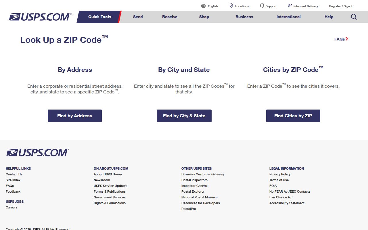
For a Missouri City lookup, keep the input address, returned ZIP, recommended postal city, and retrieval date together. That simple record makes a later change in routes or labels easier to spot and keeps a postal result separate from a claim about residence.
USPS location data supports the 77459 label for the Missouri City Post Office and Annex. The official tool is the practical current answer for one tested address, while the Postal Bulletin source supports the destination pairs. Neither source supplies the missing official polygon for every ZIP boundary around Missouri City.
Missouri City Street-Side ZIP Data
Postal geography can change from one side of a road to the other. The Missouri City street-name layer publishes ZIP_L and ZIP_R, CITY_L and CITY_R, COUNTY_L and COUNTY_R, plus left and right address ranges and an ODDEVEN field. It also includes road class, public or private type, right of way, speed, lanes, subdivision, section, and update fields. When resolving an address, check the house number and odd-even side before carrying a segment's ZIP forward.
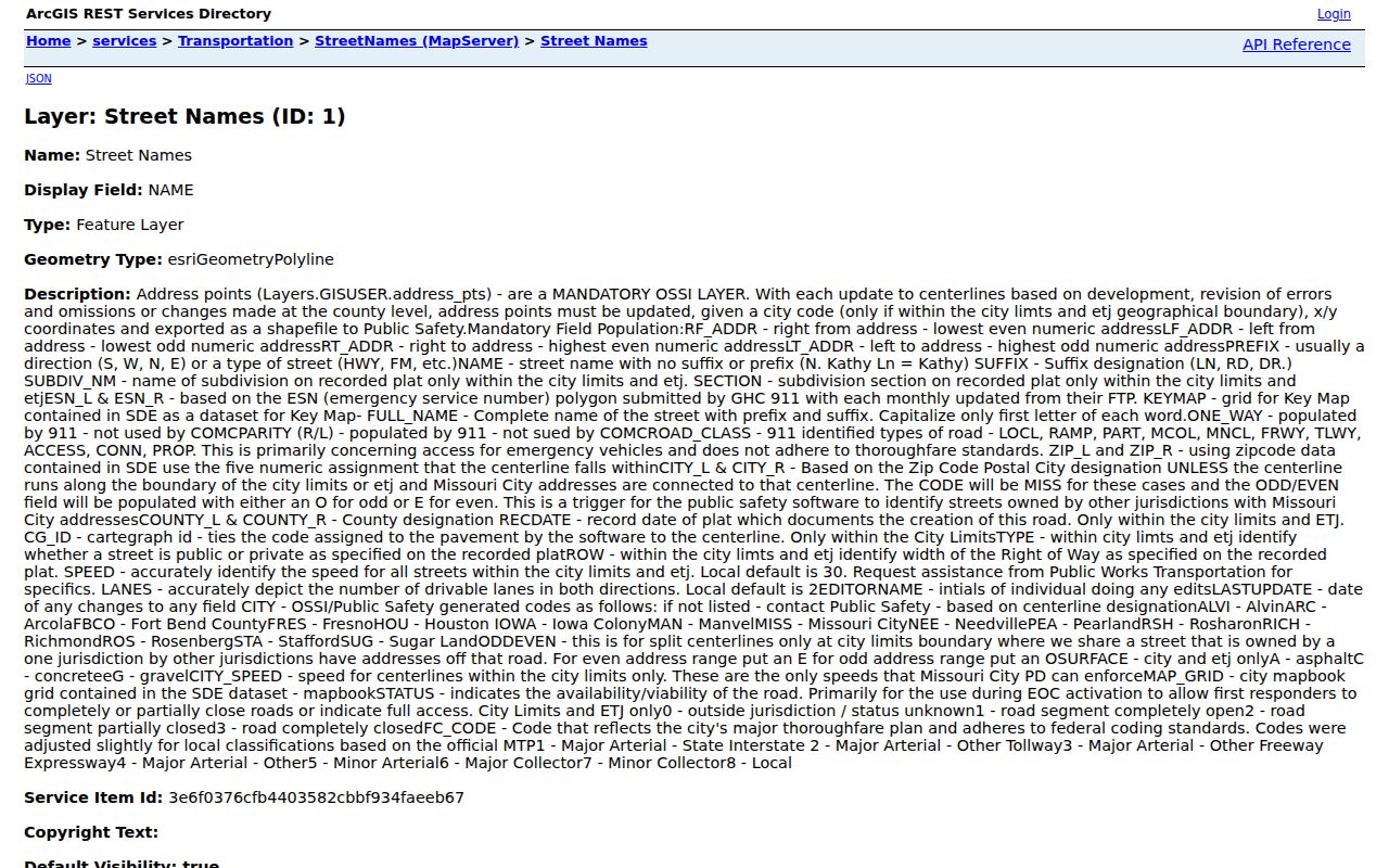
The street layer gives segment context rather than a person record. Its left and right fields can explain a ZIP mismatch, but the complete address still needs a USPS check and, when city jurisdiction matters, a MyCity GIS result.
The city map's side-specific fields are especially useful when a Missouri City search begins with an old street spelling, a directional prefix, a street type, or an address near a county or postal edge. Preserve the layer's source date and last-update field before comparing it with a historical directory, recorded plat, or appraisal record.
Find Missouri City Records by ZIP
A ZIP is a useful way to organize address work, but it should be followed by an address-level source before drawing a records connection. FBCAD's published property-search fields include street number, street name, owner name, quick-reference ID, geographic ID, subdivision, neighborhood, property type, and tax year. The published list does not identify ZIP as an FBCAD search control. Use a known street address to reach the parcel rather than claiming the appraisal roll returns a complete ZIP-wide resident list.
- Run the exact address through USPS and save the recommended city and ZIP with the retrieval date.
- Check the address in MyCity GIS to distinguish municipal jurisdiction from postal delivery geography.
- Inspect the city street segment for side-specific ZIP, city, county, range, and odd-even fields.
- Use the full address in FBCAD to locate the parcel's situs, legal description, tax year, and owner-of-record fields.
- Use the legal description or party name, rather than ZIP alone, if the next question requires the County Clerk OPR index.
Texas voter data has its own access and confidentiality rules. The Fort Bend individual inquiry uses name, date of birth, and VUID rather than a public ZIP browse. A bulk request follows the Texas Secretary of State route and requires the applicable noncommercial-advertising affidavit. It is not a shortcut to create a ZIP-wide household list.
Once a ZIP check has narrowed the search to a street, the Missouri City street directory explains the parcel-to-deed and address-history sequence in detail.
Missouri City ZIP Address Fields
The city and county GIS systems retain different pieces of the address crosswalk. The City street layer helps interpret a road segment. Fort Bend address points record an individual locator point and can include unit, alias or history, postal, and source fields. Both are useful for a Missouri City ZIP code directory research note because each makes the source and geography explicit. Neither is proof that a named person lives there.
| Field or group | Source | Why it matters for an address |
|---|---|---|
| RF_ADDR, LF_ADDR, RT_ADDR, LT_ADDR | Missouri City street layer | Shows the segment's right and left address ranges. |
| ZIP_L, ZIP_R, CITY_L, CITY_R, COUNTY_L, COUNTY_R | Missouri City street layer | Preserves side-specific postal, city, and county context. |
| ODDEVEN, PREFIX, NAME, SUFFIX, FULL_NAME | Missouri City street layer | Helps match the complete street form and its correct side. |
| SUBDIV_NM, SECTION, KEYMAP | Missouri City street layer | Connects a street segment to development or mapbook context. |
| ADD_FULL, UNIT, ALIAS, HISTORY | Fort Bend address points | Retains full address, unit, and locator-history details. |
| CITY, POSTAL, COUNTY, STATE, ZIP | Fort Bend address points | Separates the county locator's city and postal labels. |
| ADD_CLASS, created, modified, source | Fort Bend address points | Supplies provenance and currency context for the point. |
Capture the input address and each returned field in the form supplied. Normalize an alternate spelling in a working note if needed, but retain the original source spelling in a citation. The source and modified dates are important because an address point may be newer than an old deed, a street name may have changed, and a directory edition is only a snapshot.
Missouri City ZIP Boundary Checks
The Missouri City GIS page links to the Open Data Hub, interactive maps, and static layers for city limits, council districts, MUDs, police beats, fire districts, zoning, parks, and other geography. Its MyCity page resolves addresses only within Missouri City jurisdiction. USPS, by contrast, resolves delivery geography. Run both when the purpose of the search depends on whether the address is inside city limits or merely carries a Missouri City postal label.
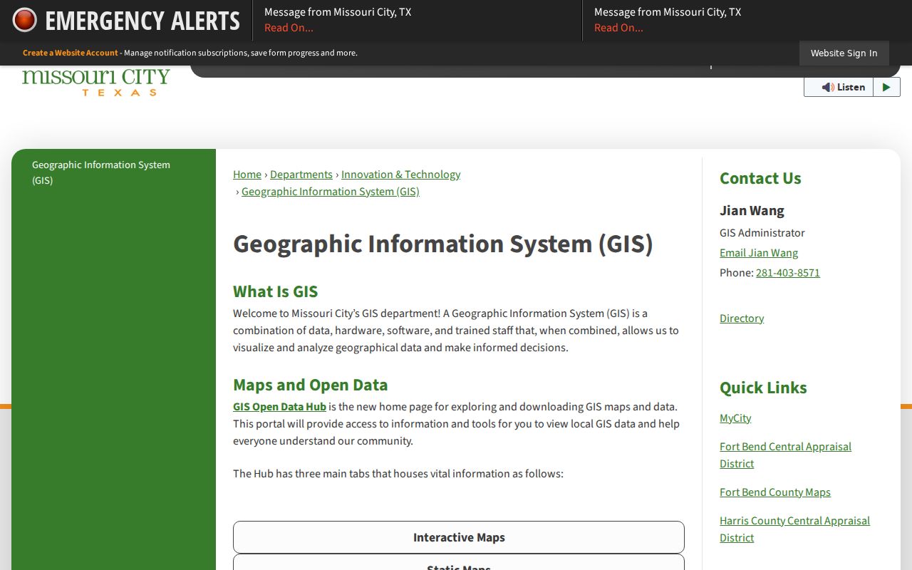
The GIS page supplies the municipal side of the comparison. Record whether a result is a city-limit check, county address point, USPS postal city, or FBCAD situs, rather than reducing all four to a single field called city.
Missouri City ZIP Code Limits
Postal, municipal, and appraisal systems answer different questions. A ZIP result identifies delivery geography. MyCity tests city jurisdiction. FBCAD gives a year-specific appraisal situs and legal description. Fort Bend address points are a county locator layer. A match in one system is useful evidence for that system's purpose, not proof of current residence, identity, city boundaries, property lines, or a complete list of people associated with the address.
- ZIP
- A USPS delivery-geography code used to sort mail. It is not a municipal boundary or a resident list.
- ZIP+4
- An added four-digit delivery detail that narrows a ZIP for routing. It should not be treated as a neighborhood or city-limit code.
- PO-box ZIP
- A ZIP used for post-office-box delivery. It can differ from a street-delivery ZIP and does not identify a physical residence.
- Unique ZIP
- A ZIP assigned to a single organization or high-volume recipient. The reviewed material did not establish a Missouri City unique ZIP for this directory.
- Carrier route
- A postal delivery sequence within an area. It helps mail routing but is not a property or person-record boundary.
Note: Keep a postcode conclusion narrow: cite the tested address, USPS answer, municipal result, and source dates instead of making a wider claim from a ZIP label.
Missouri City ZIP Code Directory Gaps
The reviewed official sources did not locate an official USPS ZIP-boundary polygon or a complete list of every ZIP that contains Missouri City city-limit land while using another postal-city label. That is a real research limit, not a reason to fill a table with nearby ZIPs. The directory therefore limits its stated Missouri City postal labels to 77459 and 77489, and it directs address-specific work back to USPS and the city or county GIS sources.
The same caution applies to location names. Missouri City's growth spans historic townsite, later subdivisions, MUDs, annexation processes, city limits, and a 3.5-mile ETJ. A subdivision name or an annexation notice can help explain the planning context of an address, but it does not settle the postal designation. City boundary layers, recorded plats, FBCAD, and USPS should be compared in the order appropriate to the question.
When an exact address produces no result, do not turn the miss into a conclusion. Check the unit, direction, street suffix, alternate spelling, city jurisdiction, postal-city label, and source date. A nonresult may reflect a portal outage, an incomplete layer, an older address form, a boundary mismatch, a privacy limit, or a true absence. State which sources and fields were actually tested.