
Missouri City Neighbors and Block Sources
Public records around a Missouri City block are layered. City GIS can tell whether an address resolves in city jurisdiction, county address points describe the address components, and the appraisal roll connects a parcel to a dated owner field. A plat or recorded instrument supplies the land-record context. Community material is more limited: the city can point to public meeting and liaison resources, while private association membership rosters were not located in the reviewed sources.
| Source | What It Shows About a Block | Access |
|---|---|---|
| MyCity GIS | Whether a selected address resolves within Missouri City jurisdiction | Public interactive map |
| Fort Bend address points | Address, unit, alias or history, postal and city fields, source and date | Public ArcGIS layer |
| FBCAD map and search | Adjacent parcel shapes, owner field, situs, legal description, and taxing units | Public search; secondary map |
| County Clerk OPR | Recorded plat, lot/block, instrument, grantor, grantee, and filing date | Index, image, or copy route |
| City civic resources | Published meeting, liaison, or public program information | Public materials when posted; no roster located |
Ownership and occupancy are different facts. A parcel owner may have a separate mailing address, a person may appear in a dated directory without living there now, and an address point is a locator. Use the table to identify the correct custodian and the date of a record, not to label everyone on a block as a current neighbor.
Map a Missouri City Block by Address
For a block-level question, follow the geographic record trail in order. This preserves the difference between municipal jurisdiction, county address data, an appraisal parcel, and a recorded land description. It also prevents a postal label or map pin from doing more than it can prove. Keep the exact address, unit, directional, street type, source date, and retrieval date in a private research note.
- Enter the address in Missouri City MyCity GIS to see whether it resolves in city jurisdiction and to capture the selected address.
- Compare it with the Fort Bend address-point layer for ADD_FULL, unit, alias or history, postal city, ZIP, source, and modified-date fields.
- Use the address or parcel cross-reference in FBCAD to inspect the situs address, owner field, legal description, geographic ID, and tax year for the parcel and the immediately adjacent parcels.
- Take the legal description, a known owner name, or an instrument number to County Clerk Official Public Records. The County Clerk does not search deeds directly by street address.
- Compare the recorded plat or instrument with the parcel card. Mark gaps, alternate spellings, or boundary differences instead of assuming an unbroken answer.
The process is address → city GIS → county address points → FBCAD → Official Public Records. It is a block method, not a claim that every owner field identifies a current resident. For a full named-street chain beyond the immediate parcels, use the Missouri City by-street directory approach.
Missouri City Neighbor Blocks Have Two Sides
The city’s public street-name layer gives a useful block context without naming people. Its RF_ADDR, LF_ADDR, RT_ADDR, and LT_ADDR fields record address ranges on each side of a segment. ZIP_L and ZIP_R, CITY_L and CITY_R, and COUNTY_L and COUNTY_R can differ across a road. ODDEVEN helps interpret which range applies to an odd or even address, while PREFIX, NAME, SUFFIX, FULL_NAME, subdivision, section, and key-map fields help normalize the street label.
This matters at municipal and postal edges. MyCity resolves only addresses inside Missouri City jurisdiction, while a county locator and postal-city label can describe a different geography. Preserve the side-specific values and the layer’s record date or last-update field. A Missouri City mailing label, subdivision name, MUD, precinct, or city-limit result should never be silently substituted for another boundary.
Note: A street segment range helps locate parcels, but it does not identify who occupies any address in that range.
Missouri City Block Parcels and Plats
Adjacent FBCAD cards can lead to a shared subdivision, lot, block, or legal-description pattern. The next source is the recorded plat or instrument held by the Fort Bend County Clerk. Recorded plats can show lot/block or tract geometry, streets, easements, and replat relationships. The city’s subdivision materials recognize abbreviated, amending, conceptual, final, large-acreage, preliminary, and replat types, but legal proof remains the recorded plat or deed.
Start an OPR search with a party name, filing date, document type, or instrument number from the parcel crosswalk. The County Clerk’s FAQ states that the public search does not search directly by street address or legal description. Record the grantor or grantee role, document type, instrument number, filing date, volume/page or image reference, and legal-description text as displayed. A deed documents a recorded interest, not who was present at the property.
Missouri City Neighborhood Resources, Not Rosters
Public neighborhood information can explain the civic setting around a block without exposing private association membership. The city resource pages, Planning materials, and historical sources name Quail Valley, Fondren Park, Sienna, Lake Olympia, Newpoint, and Oakwick Forest in different contexts. These are examples from official records, not a complete or current neighborhood list. Development names also do not establish city limits or present-day association status.
| Public resource | What is available | Boundary |
|---|---|---|
| Quail Valley and Fondren Park history | Names appear in the city’s 1960s development history | No current association directory located |
| Sienna city resources | Subdivision, annexation, MUD, and HOA-representative leads | Live directory endpoint was not captured |
| Citywide HOA resources | Public meeting materials and city liaison information when posted | Membership roster not located |
| Crime Watch and civic meetings | Public program or agency-contact history may be available | Not a participant roster |
The Missouri City neighborhood and HOA resources page is a public-contact and meeting lead rather than a directory of households.
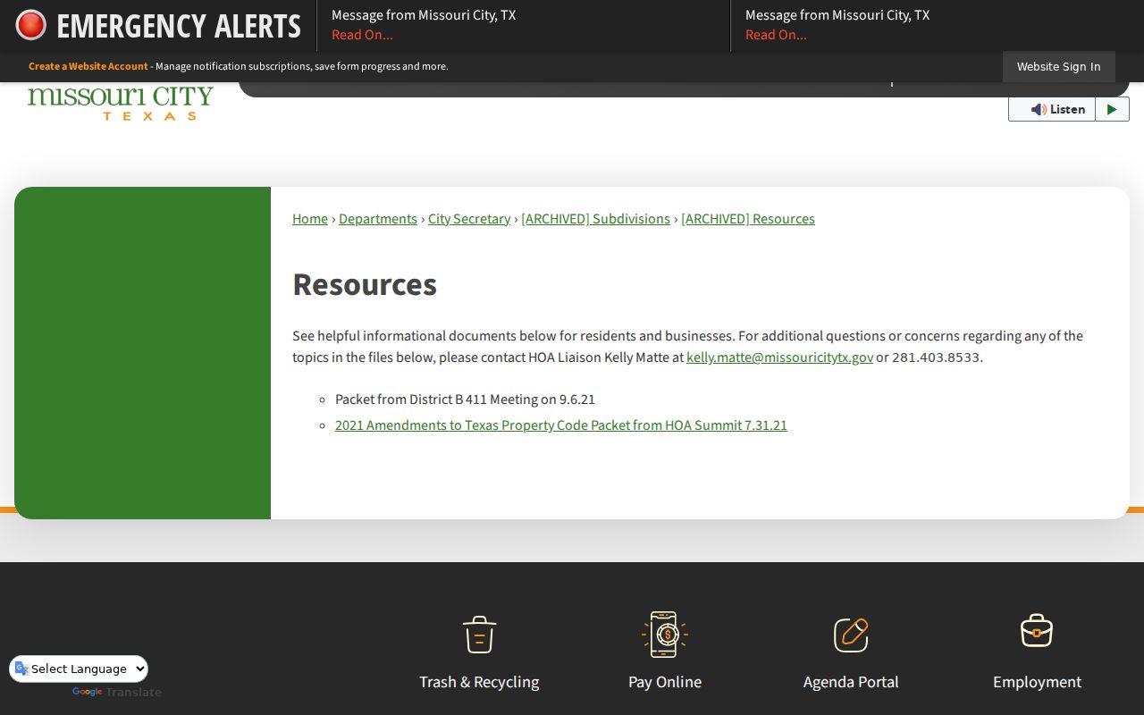
The captured resource page points to public materials and a liaison contact, which is the appropriate route for general association questions.
Missouri City Voter Data Is Not a Neighbor Roster
Fort Bend Voter Inquiry is designed for a one-person registration check through VUID, first name, last name, and date of birth, not an address-radius roster. Legally public voter information can include limited identity, status, precinct, and participation fields. It cannot reveal how anyone voted. An election record is also not proof of household membership or current occupancy at every address that may appear in an older source.
Texas protects Social Security, driver-license, DPS-ID, and certain NVRA data. Eligible officials and qualifying victims can have an address suppressed or represented by an asterisk, and the Address Confidentiality Program offers a substitute address. A state voter-data request requires an affidavit that bars advertising or commercial promotion. Do not seek to reverse a protected address or combine voter data with map fields to create a list of nearby people.
Missouri City Neighbor Searches Stop at Justice Boundaries
Public criminal-justice systems are not tools for cataloging a block. The Fort Bend Jail Public Information Inquiry accepts full or partial last and first names, then opens the detail the county publishes. It is a current detention inquiry, not a complete history. An arrest or booking is not a conviction, and a result should be described by its recorded status and date rather than used as a broad judgment.
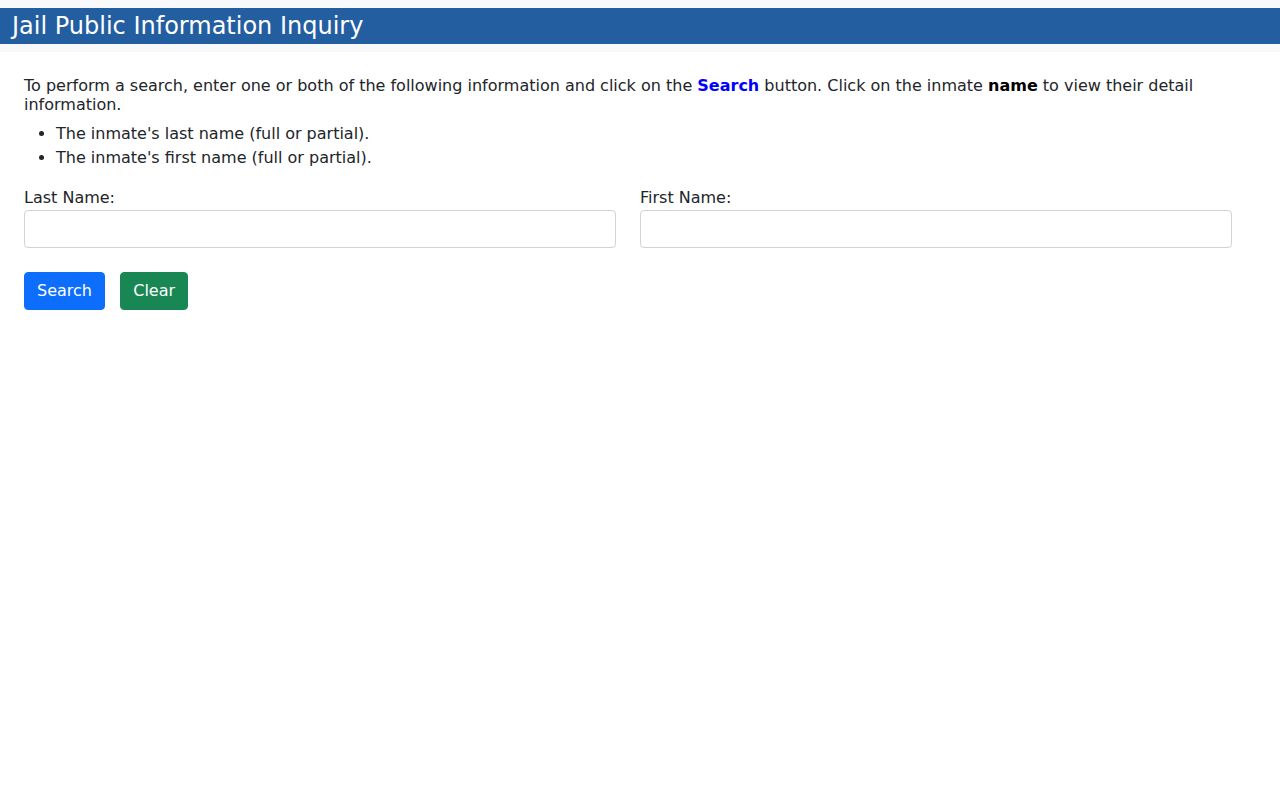
The capture shows name fields rather than an address-radius feature, reinforcing that a jail search does not establish who lives near a Missouri City address.
The Texas Department of Criminal Justice Offender Search uses a name, SID, or current TDCJ number. It describes partial matching with an asterisk and provides status details subject to its own updates and restrictions.
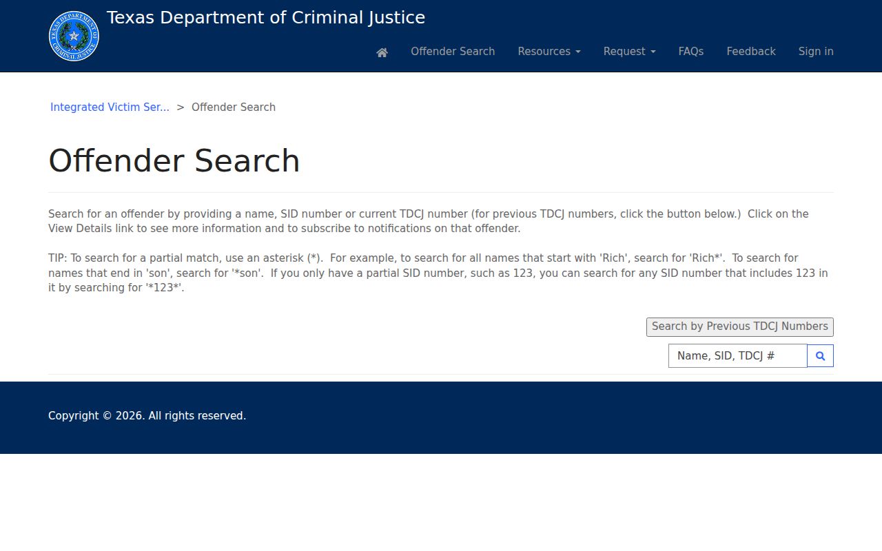
The state screen is a person-specific record route, not a Missouri City neighbor map. For a court disposition, use the correct court series and keep allegations, charges, judgments, and custody status distinct.
Missouri City Neighbor History Uses Dated Sources
A block changed as subdivisions, plats, mailing routes, and city boundaries changed. For a dated household lead, Fort Bend Libraries offers an obituary database, newspapers, vertical files, census indexes, microforms, and local histories. The UT Briscoe Center’s Southwest Houston Suburban Telephone Directory covers located years from 1975 through 2005 and includes Missouri City with Stafford, Sugar Land, and Richmond. The Greater Houston residence white pages extend across many years from 1956 through 2005.
Use the edition date, page, and source citation beside every entry. A directory notice may help bridge an old address to a parcel or newspaper date, but it is not a current resident statement. The city’s record story also includes Quail Valley and Fondren Park in 1960s development history and Sienna in modern annexation and MUD material. Those terms need a date and a source before they are used in a block comparison.
Missouri City Block Sources Compared
When the question is about a nearby block, official sources identify their custodian, date, fields, and limits. Commercial neighbor-lookup categories may combine public filings, historical address data, marketing data, and uncertain identity matches behind a paid interface. They can be stale, merge same-name people, omit protected data, and make it hard to see the original source. Use the original city, county, state, library, or recorded-document source instead.
| Source category | Useful for | Key limit |
|---|---|---|
| Official map and parcel records | Jurisdiction, parcel, legal-description, owner-role, and tax-year context | Not proof of current occupancy |
| Recorded land documents | Instrument, party role, date, plat, and legal-description trail | Not a household list |
| Library and archive sources | Dated notices, directories, obituaries, and local-history context | Scattered years and historical scope |
| Commercial lookup category | Possible lead only | Opaque sourcing, stale data, and same-name merges |
Privacy Limits for Missouri City Neighbors
A public map, parcel, or record index has field-level limits. Household members, utility and delivery data, protected voter addresses, recent restricted vital records, sealed court material, and nonpublic registry fields stay outside a responsible block search. A map is also a secondary representation and does not certify a property line or who occupies a home. If an address fails to resolve, test jurisdiction, spelling, unit, history, and source date before treating the result as an absence.